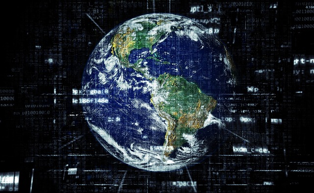
In a world where travel isn’t always possible, Google Earth offers an extraordinary way to explore our planet without leaving your chair. Whether you’re curious about distant cities, historical landmarks, or the natural wonders of the world, this powerful tool brings the globe right to your fingertips.
What is Google Earth?
Google Earth is a digital mapping and geographic information program that allows users to view high-resolution satellite imagery, 3D terrain, and detailed geographic data of virtually any place on Earth. Launched in 2001 and acquired by Google in 2004, it has evolved from a basic mapping application into an interactive virtual globe used by millions worldwide.
Key Features That Make Google Earth Stand Out
-
3D View and Street View
Google Earth’s 3D view lets you experience landscapes, mountains, and city skylines in stunning detail. Street View allows you to take virtual walks down actual roads and streets as if you were physically there. -
Historical Imagery
Ever wondered how a city or forest looked years ago? Google Earth’s time-slider feature allows you to travel back in time and see changes in landscapes over decades. -
Voyager Stories
This feature offers guided tours created by scientists, storytellers, and non-profits, covering topics from wildlife migration to cultural heritage. -
Measurement Tools
You can measure distances between two points or calculate the area of a specific region — perfect for students, researchers, and hobbyists alike. -
Underwater Exploration
Beyond the land, Google Earth lets you explore the ocean floor and marine habitats, offering a unique perspective on our planet’s blue heart.
Practical Uses of Google Earth
-
Education: Teachers use it to create engaging geography lessons.
-
Travel Planning: Visualize destinations before booking trips.
-
Environmental Studies: Monitor deforestation, glacial melting, and other ecological changes.
-
Architecture and Real Estate: View properties and surrounding areas from different angles.
Why Google Earth Matters
Google Earth is more than just a fun tool—it’s a resource for learning, research, and awareness. By making geographic information accessible, it fosters curiosity, global awareness, and a deeper connection with our planet.
Getting Started
Using Google Earth is simple. You can access it via your browser at earth.google.com, download the desktop app for advanced tools, or use the mobile version for on-the-go exploration.
Final Thought:
Google Earth puts the entire planet within your reach, ready to explore anytime. Whether you want to soar over the Grand Canyon, walk the streets of Paris, or dive into the Great Barrier Reef, you can do it all—without packing a single suitcase.

